Why Fiber Engineering Teams
Rely on GeoCam
The U.S. fiber market is in the fastest expansion in its history—BEAD deadlines, record FTTH builds, and AI-driven data center interconnects. Traditional field workflows can't keep up. GeoCam gives you a scalable, route-wide digital twin of the real world.
Current field & design workflows
can't scale to BEAD + DCI demand
Permitting Bottlenecks
Incomplete pole data drives re-designs, rejected applications, and delays. BEAD deadlines won't wait.
Piecing Together Data Is Hard
Teams stitch together field capture (mobile GPS), Google Street View, aerial imagery, old as-builts, and spreadsheets—and still send crews into the field multiple times.
Workforce Constraints
Current field processes are too slow and require too much staff. There aren't enough trained people to meet the demand.
A high-fidelity, reusable 3D view
of your entire route
One Pass, Value Throughout the Project
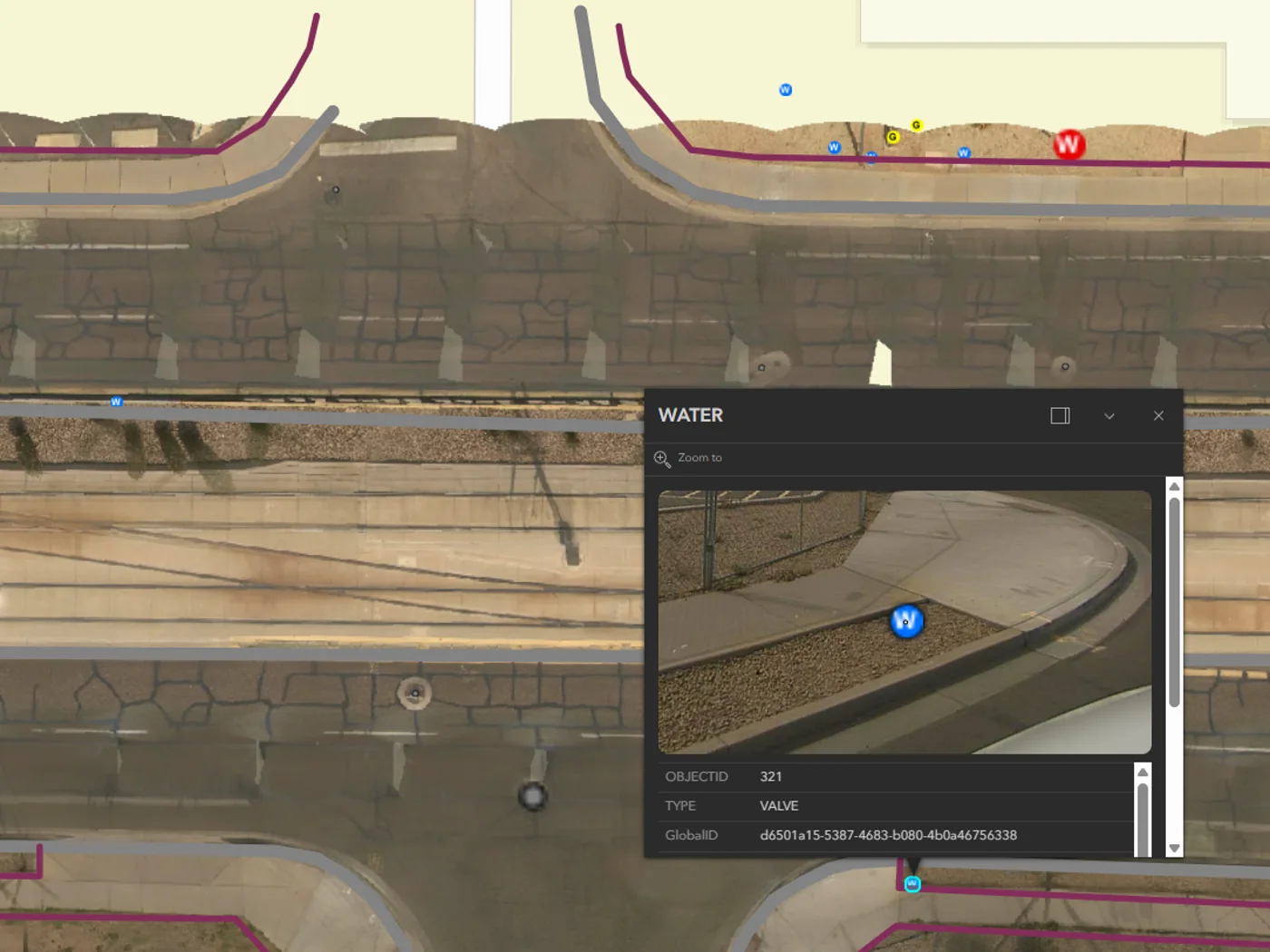
Drive or walk a route once. Capture current imagery of poles, ROW, facades, and terrain. Remotely access field data and imagery—reducing truck rolls and increasing accuracy.
Better Data Up Front, Faster Delivery
Identify and map all existing ROW and pole details required. Optimize your design for permit efficiency.
Permit Packages That Get Approved
Build submittals from current, visual, route-wide data. Show existing conditions, proposed attachments, and ROW constraints. Reduce back-and-forth with reviewers.
A Long-Term Digital Asset
Your captures become a baseline for as-built verification, change detection, vegetation monitoring, and maintenance planning. Value long after initial design.
FTTH + Data Center Interconnects — One Platform
From last-mile neighborhood routing to long-haul DCI corridors between data centers. Analyze above-ground vs. underground segments, plan low-latency paths, and assess constructability before deploying a single crew.
From feasibility to operations
Feasibility
Survey proposed routes before engineering commitment
Design
Pole data for make-ready and loading calculations
Permitting
Visual documentation for permit applications
Construction
Verify installations match approved designs
Operations
Ongoing asset management and change detection
Start with a sprint. Scale from there.
We ship you a camera for a week. Capture your fiber routes. We deliver pole data and make-ready screening ready for design.
Common Questions
What pole data do I get?
GPS coordinates, attachment identification, height measurements, clearance data, and violation flagging. Schema is customizable to your GIS requirements.
How does this compare to traditional pole surveys?
GeoCam captures imagery once; you extract data from your desk. One small crew can cover what used to require multiple field teams. Fewer truck rolls, faster turnaround.
Is accuracy sufficient for make-ready engineering?
10cm accuracy from visual positioning. Suitable for preliminary inventory, route planning, and make-ready screening. We recommend validating against control points for your specific conditions.
Can contractors access the imagery?
Yes. Generate secure view links for specific routes. Useful for construction coordination, QA verification, and reducing site visits.
What about data center interconnects?
Same platform supports long-haul and metro route studies, low-latency path design, and constructability assessments for DCI projects.
How do I start?
Start with a 1-week sprint at $5,000—includes camera kit, 150 miles of processing, and one data model. Scale from there.
Design faster. Permit smarter.
Build with fewer surprises.
If you're designing FTTH networks, data center interconnects, or large-scale fiber corridors, GeoCam is the new foundation for scalable fiber deployment.