Build your own Map Data with GeoCam
GeoCam Editor enables the creation of map features from your orientated imagery.
Connect with your Esri ArcGIS Feature Services - create features into almost any data model.
Public Works Assets, Utility Network data, Public Safety Pre Plans, Facilities Assets, and many more…

Public Safety - Fire and Police Pre Plans with Floor Plans and Critical Assets

Telecom Fiber Network Assets - Poles, Attachments, Connectivity, and more.

Electric Distribution Network Assets - Structures, Devices, Structure Junctions, Electric Line and Sub Networks

Indoor Facilities Management - Architectural Floor Plans and Asset Locations

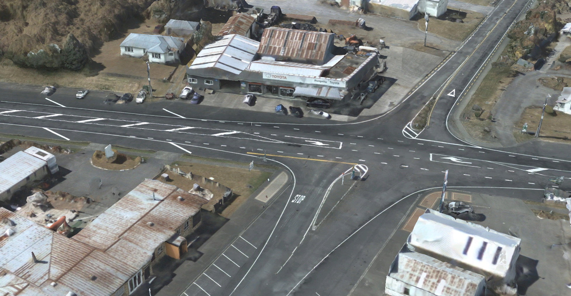
Public Works Assets - Signs by Type, Poles, Signals, Streetlights, Storm Water. Esri Local Government Data Model.
Create Map and CAD Data using 3D Reconstructions
Export 3D Textured Meshes from the GeoCam platform and a package of derivatives, including Point Clouds and Orthorenders.


We offer data services - custom Map and CAD data production at almost any Level of Detail (LOD).


