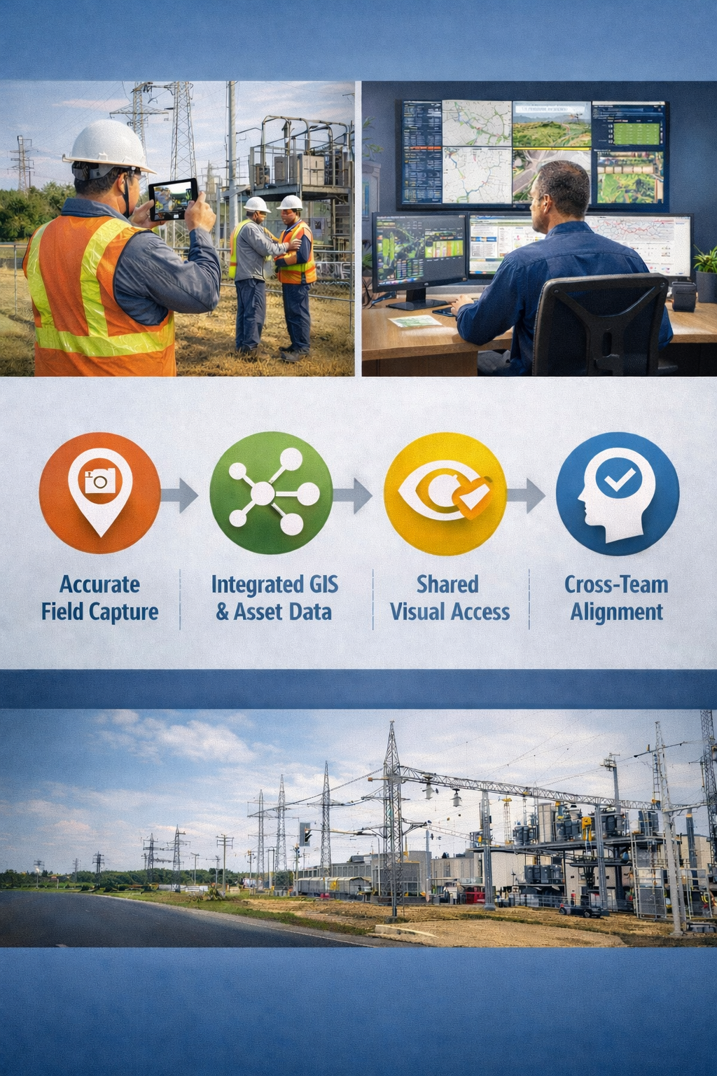
From Field Crews to the Control Room
In this recent blog post we explored why utilities are rethinking how they capture and trust field data. The conclusion was clear: photos alone are no longer enough. Utilities need consistent, reliable visual records they can use long after a crew leaves the site.
The next challenge is harder and arguably more important: How do you make that field data usable across the organization?
Because the real value of visual data isn’t unlocked in the field. It’s unlocked when engineers, planners, GIS teams, operators, and compliance staff can all rely on the same shared view of reality.
The Organizational Disconnect Utilities Are Working to Close
In many utilities, field data still lives at the edges of the organization. Crews capture photos. Inspectors take notes. Contractors submit documentation. But once that data reaches the office, it often becomes siloed as it is usually stored in shared drives, buried in project folders, or detached from asset records entirely.
The result is a familiar pattern:
Engineering teams request new site visits to verify conditions
GIS teams struggle to validate asset attributes
Operations teams rely on outdated visuals
Institutional knowledge walks out the door with retiring staff
Utilities that are making progress are tackling this not as a technology problem alone, but as a workflow and alignment problem.
Visual Data as a Bridge Between Teams
When visual field data is captured consistently and tied to real-world location and assets, it becomes a powerful connective tissue across departments.
Some utilities using mobile reality capture platforms describe a shift in internal collaboration. Instead of asking, “Does anyone have a photo of this?” teams ask, “Can we pull up the site record?”
That change enables:
Engineers to review site conditions remotely during design
GIS teams to validate asset data without dispatching crews
Operations teams to understand constraints before maintenance
Safety and compliance staff to reference conditions as they were documented
The key is not just having images—but having images with context, accuracy, and consistency.
Workforce Change Is Accelerating the Need for Better Visual Records
As experienced utility workers retire, the industry is confronting a difficult reality: decades of tacit knowledge are disappearing. Historically, understanding a substation layout or a tricky right-of-way condition often depended on knowing who to call. Increasingly, utilities need that knowledge embedded in systems—not people.
Structured visual records help fill that gap by:
Preserving site conditions over time
Providing new staff with situational awareness faster
Reducing reliance on memory or informal handoffs
Utilities experimenting with mobile capture tools like GeoCam often find unexpected value here. Visual walkthroughs of facilities and assets become onboarding aids, reference points, and training resources, without requiring senior staff to revisit the site repeatedly.
Making Visual Data Work with GIS and Asset Systems
For visual data to scale, it has to integrate with the systems utilities already rely on. This is where many early documentation efforts fell short. Photos stored separately from GIS or asset management systems created friction instead of clarity.
Utilities are now prioritizing tools and workflows that:
Tie imagery to precise locations and asset IDs
Allow downstream teams to access visuals directly from their systems
Support long-term storage and retrieval, not just project-based use
Mobile reality capture platforms like GeoCam are often deployed with this goal in mind—not as standalone tools, but as inputs into broader data ecosystems that support planning, maintenance, and compliance.
What Operationalized Visual Data Looks Like in Practice
Utilities that are further along in this journey tend to share a few characteristics:
Standardized capture workflows across crews and contractors
Clear ownership of how visual data is stored and accessed
Cross-team alignment on what “good documentation” means
Field-first tools that don’t slow crews down
The payoff isn’t just efficiency. It’s confidence. Decisions are made faster when everyone is looking at the same, trusted representation of the field.
A Foundation for the Next Phase of Utility Modernization
As utilities prepare for grid modernization, increased electrification, and growing public and regulatory scrutiny, the ability to see and share field conditions becomes increasingly strategic.
Visual data—captured once and used many times that supports safer work, better planning, smoother collaboration, and stronger institutional memory.
Platforms like GeoCam are part of this shift not because they promise transformation on their own, but because they help utilities operationalize something deceptively simple: a shared visual truth of the infrastructure they manage every day.
GeoCam will be at DistribuTECH 2026, continuing conversations with utilities about how trusted, accessible visual data can support workforce transition, GIS integration, and smarter infrastructure decisions.