GeoCam: A Scalable Digital Foundation for Managing Infrastructure
State and local public works departments are being asked to do more with less, maintain aging infrastructure, respond faster to failures, meet transparency requirements, and modernize operations, all while budgets tighten and institutional knowledge walks out the door.
Traditional asset management approachesperiodic field inspections, static photos, spreadsheets, and outdated GIS layers are no longer scalable.
GeoCam provides public agencies with a living, measurable 3D digital record of their infrastructure—easy to capture, easy to use across departments, and continuously delivering value.
Aging Infrastructure Demands Better Visibility
Roadways, sidewalks, signs, poles, signals, drainage systems, and right-of-way assets are aging faster than they are being replaced. Deferred maintenance increases risk, liability, and emergency repair costs.
GeoCam’s 360° reality capture and AI-driven processing create high-fidelity 3D geospatial data that allows public works teams to:
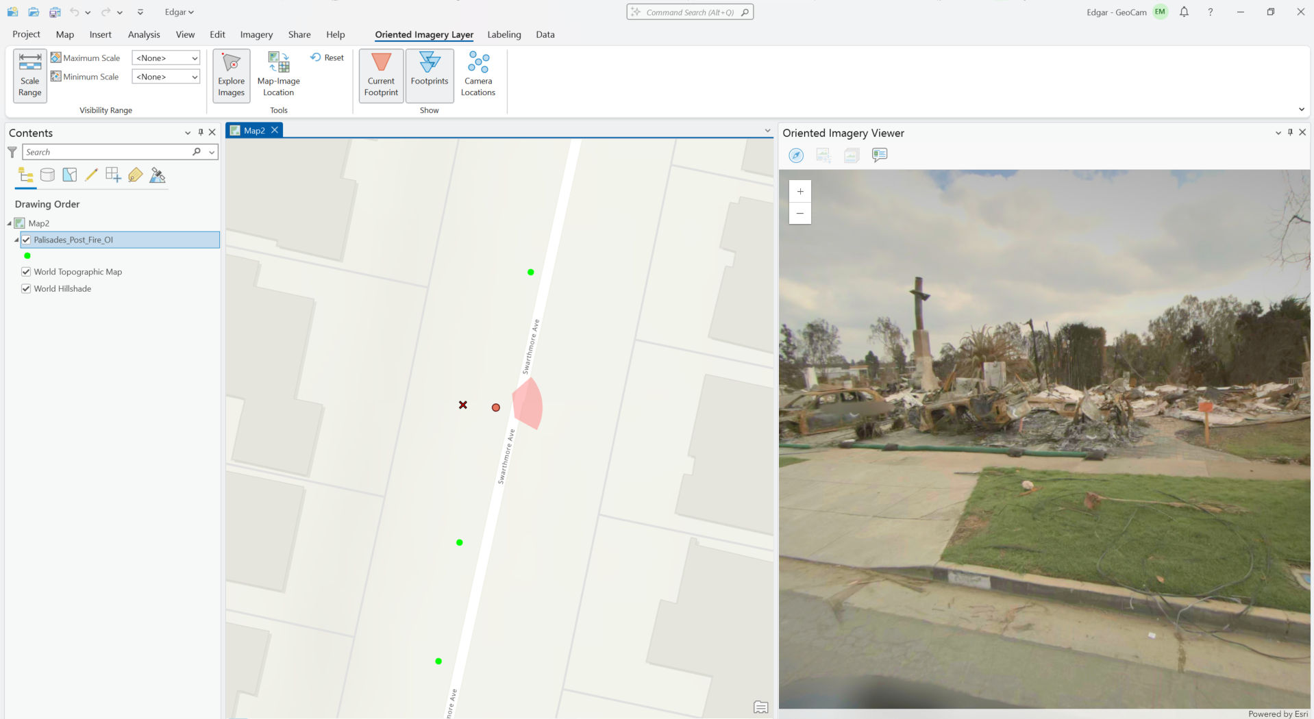
Rapidly create and maintain Inventory of existing assets
See current asset conditions without repeat site visits
Measure clearances, offsets, and deterioration remotely
Identify issues earlier, before they become emergencies
This shifts agencies from reactive maintenance to proactive planning.
One Platform. Many Departments.
The GeoCam Platform and associated data is valuable across planning, engineering, operations, permitting, and risk management, eliminating duplicate field work and siloed datasets.
A GeoCam Imagery data set supports:
Asset inventories and condition assessments
Capital improvement planning
Permitting and right-of-way management
ADA compliance reviews
Emergency response and post-event documentation
Departments stop working from different versions of reality.
Built for AI-Driven Asset Management
Public agencies are increasingly investing in AI and ML-supported workflows, but those tools are only as good as the data they ingest.
GeoCam delivers machine-readable, spatially accurate, and visually verifiable data that enables:
Automated asset extraction and classification
Change detection over time
Prioritization models for maintenance and replacement
Integration with modern asset management platforms
GeoCam becomes the data layer that makes AI useful—not experimental.
Fewer Truck Rolls. Lower Operating Costs.
Field labor is expensive, scarce, and often unsafe. Repeated inspections for measurements, documentation, or verification drive up operating costs.
With GeoCam, teams can:
Conduct virtual inspections from the office
Reduce unnecessary site visits
Improve staff safety by limiting exposure to traffic and hazards
This is especially critical as experienced staff retire and institutional knowledge is lost.
Better Documentation. Lower Risk.
Public works departments face increasing scrutiny, from auditors, regulators, attorneys, and the public.
GeoCam provides:
Time-stamped, georeferenced visual records
Defensible documentation for claims, disputes, and audits
Clear before-and-after records for capital projects and repairs
When questions arise, agencies can show exactly what existed, where, and when.
Do More With Tighter Budgets
Budgets aren’t growing, but expectations are. GeoCam helps agencies stretch limited funding by:
Reducing redundant data collection
Improving capital planning accuracy
Prioritizing spend based on real conditions
Avoiding costly emergency repairs and rework
Every capture continues to pay dividends year after year.
The Bottom Line
GeoCam gives public works departments a modern, scalable way to understand, manage, and protect public infrastructure, without increasing headcount or field workload.
In an era of aging assets, AI-driven decision making, and fiscal constraint, GeoCam isn’t a visualization tool.
It’s the digital foundation for smarter, safer, and more accountable public infrastructure management.